
In an interview, Oliver Buerkler, Senior Product Manager at Faro and laser scanning expert, looks at the value proposition of laser scanning
As an opening statement, Buerkler suggests “we should not restrict ourselves to looking at laser scanning itself, but rather the complete workflow that the data enables. We are better placed to support clients with the full process in mind”.
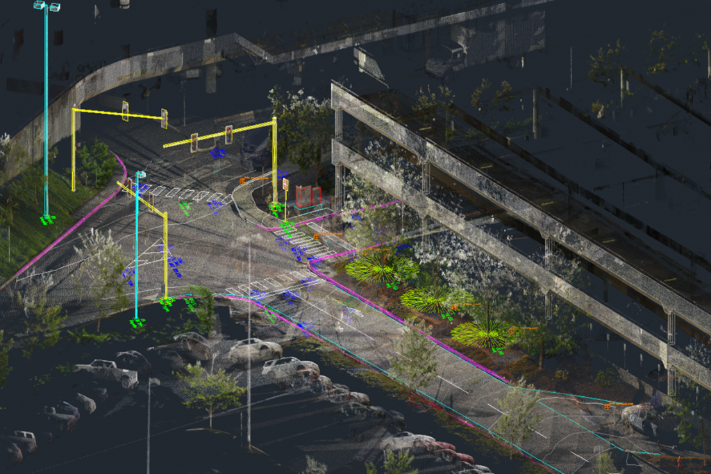
Procuring a survey
When specifying the delivery of point could data, several factors should be considered. Firstly the project requirements, then technical aspects and finally the deliverables. In the UK (and applicable elsewhere), the RICS guidance document ‘Measured Surveys of Land, Buildings and Utilities, 3rd edition’ is a sensible place to begin.
How a surveyor chooses to capture the data is then up to them – whether by static survey stations, drone, linear vehicles, manned flight or handheld devices – certain methods are suited to different situations and physical environments.
With the specification now written ‘who’ is likely to benefit from laser scanning?
The surveyor
An immediate benefit is time-saving – hardware and software developments in recent years have significantly reduced the time taken to undertake scans. The scale of coverage now possible also far exceeds that of traditional methods. In this sense, many surveyors already scanning will have seen great time savings, reduced health and safety risk (late working and overall reduced time on site) and fewer return site visits.
Moving to deliverables, Buerkler states that “the time taken on average to create deliverables from scan data is around ten times that of collecting the data in the first instance”. That said, tools such as the Faro PointSense Family of applications and object recognition algorithms allow the extraction and conversion of point cloud data to final deliverables to be a much quicker process than ever before.
Software can also show where the models are out of tolerance with the specification, highlighting one of the most important aspects of the conversion to ‘other’ deliverables – the scan data will ALWAYS be more accurate and complete than an approximated model.
In summary, the benefits gained here are calculable against traditional methods, although this is just the beginning of a stream of benefits for others.
The designers
The design team will be in possession of a much more complete picture. In many cases they will be able to view the data online via Faro Scene WebShare or similar; using a web browser in an intuitive, panoramic view – they can take measurements and ‘look behind them’. This ‘incidental data’ behind and beyond the surveyed asset, is collected as part of the scanning process and gives context to the site.
Depending upon the deliverables required, the availability of the information can be much sooner than traditional methods, allowing teams to begin work much earlier.
So that’s a huge leap in speed and accessibility to the information but let’s not forget the quantity of information the design team has access to. We’re simply not comparing like with like when comparing a 2D deliverable with a 3D point cloud. Scan data is captured once, for many uses and is much more complete.
Technology advances now also allow publishing into immersive environments, using VR/AR headsets. This all springs from the original recorded data – it’s the next step along the ‘complete workflow’ Buerkler raises.
The construction contractor
Modern design documentation tender packages will contain more accurate models, drawings, specifications, reports AND point cloud surveys. This makes the contractor the third main beneficiary in the scan data workflow.
Having also not actually paid for the survey but being a licensed user of it, the ROI is effectively 100%! The main contractor will see risk reduction through having a complete picture; they will have been able to interrogate the site for potential hazards before mobilisation resulting in greater health and safety; they can use it for visualisation and as a valuable communication tool, in turn increasing transparency and enabling greater trust.
Construction progress can be checked against new scan data or build accuracy checked against design models. As a method for reducing the waste involved in rework, it’s currently unbeatable.
Buerkler notes a particular case study whereby a concrete sub-contractor was required to build to a particularly stringent ‘flatness’. He said: “Once the concrete is poured, you have a window of 2 to 3 hours before the concrete cures and can no longer be worked. Using the ‘Builder Rithm’ plug-in app for Faro’s Scene software, the sub-contractor can laser scan and analyse the flatness of the poured slab in near real time, and then ‘work’ the concrete to meet the specification”.
The traditional method of measuring flatness is to wait until the concrete is cured enough to walk on by which time it’s too late to ‘work’ the surface to meet the requirements – it’s a case of breaking out the slab and pouring again.
This is one clear instance where modern measurement techniques can save time, money and increase quality.
The owner / operator / facility manager
We end where we began – having paid for a survey with modern deliverables, the client has been benefitting throughout the design and construction phases by enabling the team to be more accurate, more coordinated and make better-informed decisions.
The built asset handed over for operation is verified against the design documentation, and there is a ‘real’ as-built record. This is more valuable and game-changing than it may seem!
In asset operation, Faro Scene WebShare Cloud software can be used as a more intuitive way to access information. Tags displaying information can be added to the point cloud, and document hyperlinks included, allowing users to navigate and access documents easily and naturally.
Beyond handover, areas can be rescanned and the as built record updated – enabling managers to make informed decisions based upon the latest information – bringing building/asset operation into the modern world.
In conclusion, many other stakeholders can benefit from a laser scanning workflow. Buerkler mentions that “in traditional methods, there are lots of unnecessary, repeated surveys measurements being made”. The use of scan data can reduce that.
“This seems like a lot of waste removed from the process,” he says, and it’s just the beginning.
Anke Abendroth
Regional Marketing Manager
FARO UK
Tel: +49 (0)7150 9797 – 311
Twitter @faroeurope
Please note this is a commercial profile


