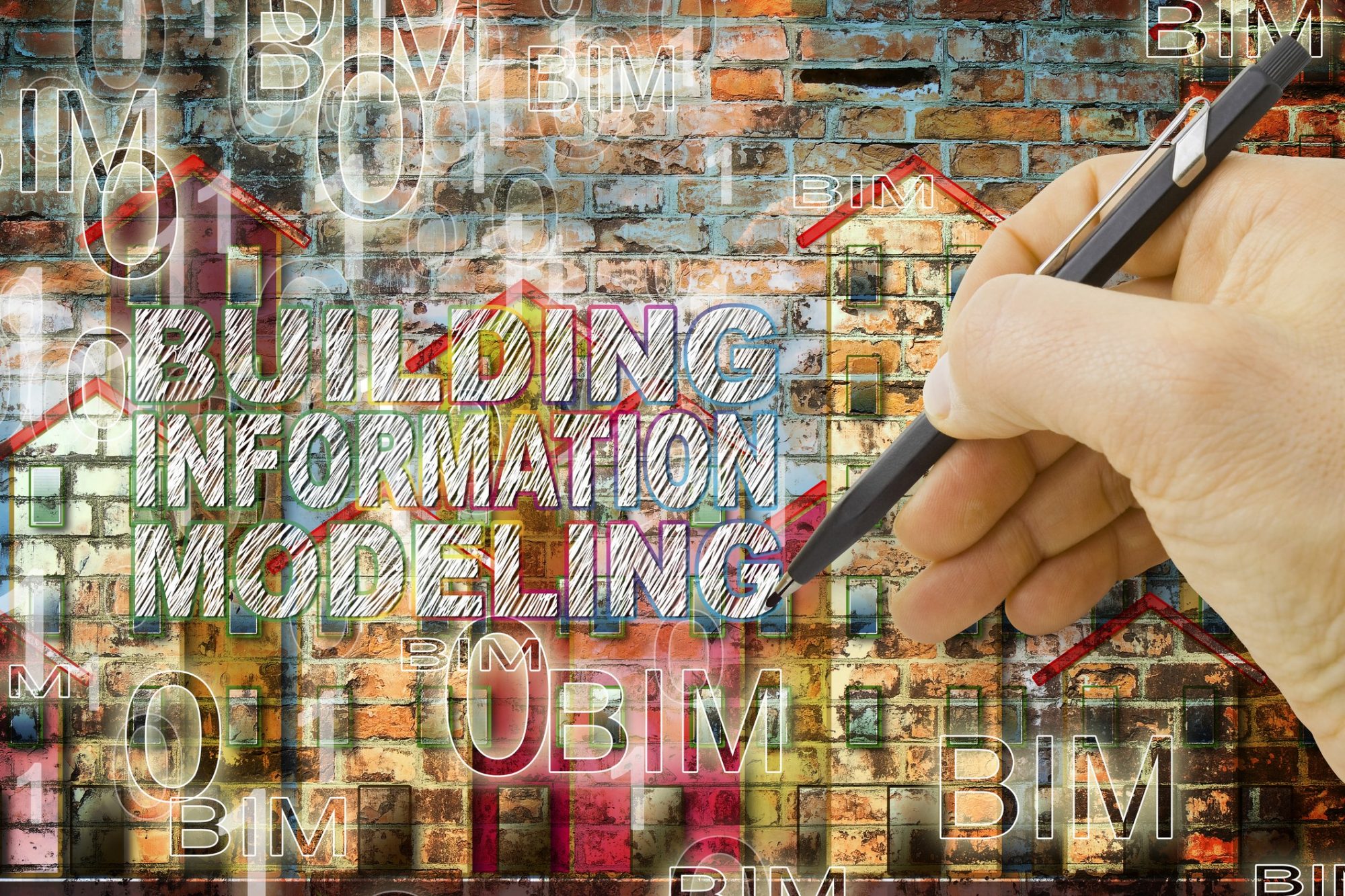
Building Information Modelling (BIM) is about transforming how buildings and infrastructure are designed, constructed and operated. It has the potential to add value across all phases of a project, from design through to construction.
BIM exploits the potential of digital modelling technologies to provide a new way of designing buildings and infrastructure and managing the design and construction processes. This approach brings together geometry (lines and surfaces) and rich non-geometrical information (intelligent descriptions of components, materials etc.) in an open data environment. Building information modelling, during the design and construction phases of a project, has the potential to create an ‘as-built’ virtual model of the built environment, a digital asset that can be exploited throughout the operational life of the built environment.
BIM is a process that keeps projects on time and on budget reducing rework and increasing predictability and profitability. Building information modelling has a solid return on investment with a 40% reduction in field changes, contract savings of over 10% and project time reduced by over 7%.
Whilst BIM adoption is growing positively, the actual level of BIM use is mostly limited to quantity take off, co-ordination of multidiscipline activities at the office, i.e. clash prevention. The use of ‘BIM uses’ is growing daily, including project management and construction sequencing. The full impact of BIM in the construction industry sector is yet to be realised. There is a clear trend appearing around the uses of ‘BIM use’ outside of the office.
Moving from 2D plan co-ordination to 3D model co-ordination is usually the first step, this allows contractors to spot and resolve potential problems. However to fully maximise what BIM can do, it is important to connect the digital world to the real world.
Leica Geosystems is a market leader in providing field solutions and is leading the way in helping to bridge this gap by taking BIM out of the office and into the field and vice versa. Leica Geosystems BIM Field Trip is a comprehensive solution with hardware, software, service and support components that increases the Building information modelling benefits for owners, contractors, architects and the various trades involved in the BIM process.
With renovation and retrofit jobs on the rise, Leica Geosystems BIM Field Trip provides the cost-effective, complete and traceable georeferenced field data using a unique class of “Survey-Grade” High-Definition Surveying Systems/3D laser scanners known as ScanStation to produce 3D point clouds that are consumed in a number of software environment through a unified workflow and data architecture. Where projects require the efficient capture and positioning of discrete points, Leica Geosystems family of measurements sensors – from high-end total stations to handheld distos come into play.
Within new construction the Building information modelling Field Trip uses total station and multi-station technology to replicate BIM layout points in the field providing accurate real world implementation. You cannot achieve this kind of efficiency and accuracy with plumb bobs and tape measures, especially with today’s complex designs and demanding construction schedules.
The Leica Geosystems BIM Field Trip technology offers a superior quality assurance solution with innovative multi-station technology that continues construction layout and high definition as-built scanning in a single hardware solution. As-built quality assurance point cloud are compared to the model to assess systems like MEP providing insight critical to validate that buildings are being constructed as designed and evaluating potential issues at an early stage avoids rework in the field.
3D laser scanning/High- Definition Surveying (HDS) as the foundation of Building information modelling
As the equipment and service costs of laser scanning continue to decrease, the opportunity for leveraging 3D scanning in the construction sector is becoming even more tangible. Ultimately the technology of High-Definition Surveying (HDS) changes the way many construction professionals work.
3D laser scanners help to streamline workflows across a number of diverse industries. By allowing critical surfaces and environments to be measured with a level of confidence and speed not possible with traditional tools, 3D laser scanners provide users with a way to deliver robust models that can be revisited digitally at any point in time.
BIM is a 3D parametric model, which means that the objects in the model have intelligence embedded (meta data) and understand a variety of parameters and relationships that are defined by the project team based on the BIM use for the project (level of development). Metadata can be automatically stored in the point cloud file format, or can be linked to the point cloud or the 3D model objects after the measurement process. With this approach BIM can offer virtually unlimited possibilities for integrating business intelligence with the project or asset management.
Today HDS and BIM are technologies that have moved beyond concepts to being proven and demonstrated in projects executed worldwide and the growing capability of technology, allow “BIM stakeholders” to realise further gains through the deployment of such capabilities.
What is most exciting is that we are at the beginning of a fundamental change and digitization of a very old industry and such change promises to deliver greater gains to the full cycle of construction and operations activities to come.
Whether you are a beginner, intermediate or an expert working with the BIM process, the Leica Geosystems BIM Field Trip will help you lower waste, work more efficiently, reduce costs, increase profit margins and maintain greater project safety.
Tahir Sharif
EMEA Director Software Solutions
Leica Geosystems
Tel: 01908 513400
tahir.sharif@leica-geosystems.com


