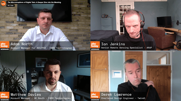
On 5th March, a panel of experts in the AEC industry, in collaboration with PBC Today, came together to discuss the misconceptions of the term ‘digital twin’ in a free webinar
Hosted by FARO Technologies, the panel was led by Adam North, account manager at FARO Technologies.
Derek Lawrence, a chartered design engineer at Twindl, Ian Jenkins, a senior remote sensing specialist at ARUP, and Matthew Davies, an account manager for UK South at FARO Technologies, also participated in the discussion.
Throughout the webinar, polls were put forward to the audience for a discussion on various relevant topics, alongside a live Q&A.
What is a digital twin, and how do we define it?
The panel kicks off with Matthew Davies, account manager, UK South, FARO Technologies, who simplifies the concept of a digital twin in the AEC industry.
Matthew defines a digital twin as a ‘digital model of a real-world product or process’, which is a dynamic process throughout the lifecycle of a building and has an essential role in enhancing decision-making and efficiency.
Common barriers associated with digital twins were also addressed, including perceptions that they are too complicated, require specialised expertise, are costly, and may not suit smaller-scale projects.
Exploring real-life uses of digital twins and laser scanning technology
In the next part of the webinar, Derek Lawrence, a reality capture specialist and chartered building services engineer, discusses his background and entry into reality capture.
He shares a project with Warwickshire Wildlife Trust, using laser scanning techniques to engage the public in understanding the complex structure of the River Sherbourne in Coventry.
Lawrence employs a backpack scanner for above-ground data and the FARO Traceable 3D system for challenging below-ground environments.
What is the difference between a digital model and a twin?
Derek then hands over to Ian Jenkins, Arup’s reality capture expert. Jenkins explores the nuances between digital models and twins, focusing on a geotechnical inspection of Dudley’s historic store cavern.
Emphasising the importance of context and stage in project lifecycles, Jenkins illustrates how laser scanning facilitated a 3D representation of the challenging mine environment.
He discusses the model’s utility for virtual inspections, geotechnical analysis, and baseline comparisons.
While acknowledging the absence of live monitoring, Jenkins envisions potential future applications, suggesting the evolving model could serve as a foundation for alterations, stability assessments, or environmental controls.
The video demonstration showcases a user-friendly platform for visualising multiple point clouds and analyses in a web browser.
The panel closed with a live Q&A put to members on the panel, which you can watch in the video above.
FARO also announced exciting upcoming events, which include a technology coffee morning on 20th March and the GEO Business show at ExCel London on 5-6th June.


