The Bartlett explores how data, digitalisation and design are all key to achieving net zero and driving a sustainable built environment
New technologies have transformed how we engage with the world and have opened endless opportunities for innovation across a sustainable built environment. At The Bartlett, UCL’s Faculty of the Built Environment, our research is uncovering a multitude of ways big data and digitalisation can revolutionise how we plan, design, and construct our buildings, towns, and cities whilst tackling grand challenges and achieving net zero.
A digital future for spatial planning
“In this world we live in, everything is connected to everything else. The impact of the planning process is no more or less than all of us being involved in our environment.”
Prof Michael Batty, Professor of Planning, the Bartlett Centre for Advanced Spatial Analysis, UCL
Internationally renowned town planner and urban designer Dr Wei Yang and Professor of Planning Michael Batty from the Bartlett Centre for Advanced Spatial Analysis co-founded the Digital Task Force for Planning to address the climate crisis and other grand challenges facing our society.
The task force consolidates cross-disciplinary research and tools that can be applied in spatial planning, identifying research gaps, and developing practical solutions. It also aims to function as an incubator of digital planning innovation and promote capacity building through training and knowledge sharing.
In 2022, Dr Yang and Professor Batty set out a comprehensive blueprint for improvement in A Digital Future For Planning: Spatial Planning Reimagined. They also outlined multiple systemic failings of the UK planning process – a system that has largely remained unaltered since the 1940s.
Reinvigorating the planning profession
“We want to reinvigorate the planning profession. When the profession started, it was visionary and had long-term thinking, asking big questions about society’s needs. There was great support from society. But now planning is disconnected from the public, who don’t see planning as something positive anymore – more a kind of administrative bureaucracy,” says Dr Yang.
Due to several factors, the planning profession in the UK has failed to capitalise on opportunities offered by digital technologies. Austerity has undoubtedly played a part, as cost-cutting measures across the public sector have left planners locally and nationally struggling to do more with less.
According to Dr Yang, the problem isn’t the absence of technologies such as Geographic Information Systems (GIS) and computer-aided design (CAD) from the planning process. It’s more an issue of poor integration, leaving planners on the periphery.
“People see GIS or CAD as a technical skill. So, normally, there’s a separate group of people doing GIS rather than the planners. And if the planners don’t understand how to use GIS and other digital tools, they can’t frame the question adequately – and for data literacy and data analytics, framing a good question is the number one priority.”
New ways to use data and technology
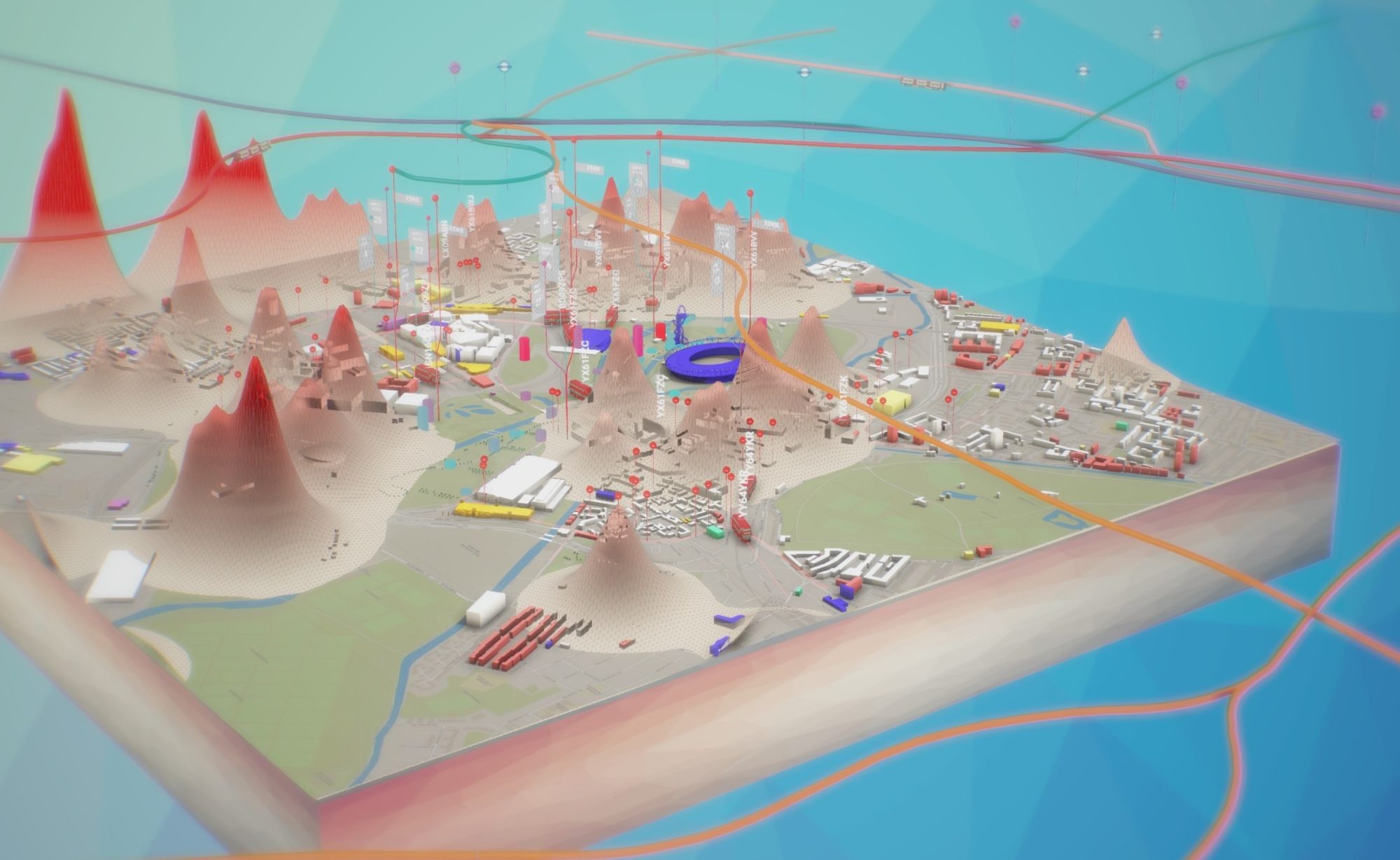
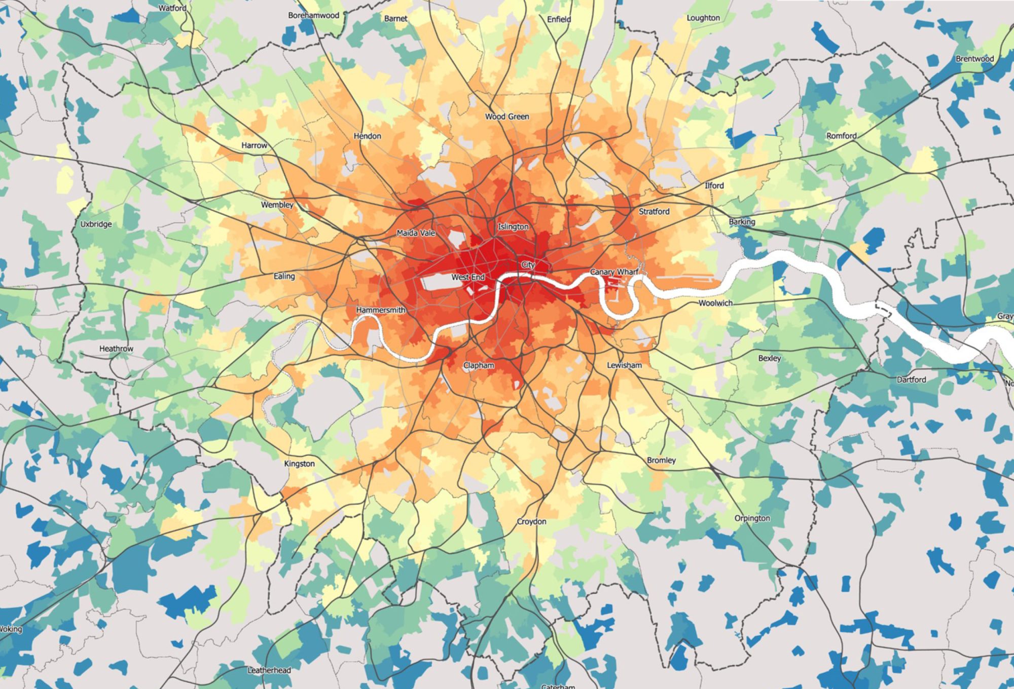
By integrating data and digital technology, the task force has created a new methodology providing decision-makers and stakeholders with a better understanding of the interactions between people, economy, society, and the built and natural environments. The methodology can be visualised as two interrelated loops.
The Evidence Analytics Loop provides systematic approaches to gathering and processing multidisciplinary data and evidence.
Outputs are then integrated into the Decision-Making Loop, allowing planners, governments, and communities to shape evidence-based policies and regulations that are accountable to the public.
The loops define cycles that enable the planner to iterate and explore ideas while engaging in plan-making in real-time. This methodology can be applied to planning tasks nationally or locally, in any sector, at any scale.
Using digitalisation to create a sustainable built environment
One of the task force’s aims is to translate complex and fragmented digital systems into methods practicing planners and consultants can use effectively.
A wide range of research disciplines and styles is essential to achieving this. The task force has entered a Memorandum of Understanding with the UK Collaboratorium for Research on Infrastructure & Cities to bring the latest scientific and engineering research into planning.
“We often refer to the ‘teaching hospital model’ – in medical schools, you’ll have a leading clinician or practitioner who also teaches and researches. So, the latest research is brought into practice very fast,” says Dr Yang.
“But in planning, there’s still a degree of disconnection between research and practice. The most important research is about ‘what are the possibilities?’ And then, ‘what is the solution?’”
The race to net zero
“The IPCC identified spatial planning as one of the key mechanisms to tackle climate change. 59% of the carbon reduction needed will come from human societal and behavioural changes. So if we only think about the physical objects without thinking about human beings, we’ll miss the biggest trick,” explains Dr Yang.
Despite repeated recommendations from the IPCC since 2014 and the UK government’s 2020 white paper Planning For the Future, there’s still an absence of national cross-departmental consideration of how planning processes could be redesigned to deliver net zero in the UK.
With the impending overshoot of 1.5ºC global warming expected to trigger multiple climate tipping points, the responsibility of spatial planners to help reduce carbon emissions is upheld by the task force.
“I often describe the task force as a ‘digital National Trust’ – it promotes valuable knowledge sharing as assets for public good. Our research outcomes are made open source worldwide,” says Dr Yang.
“It’s based on the notion that everything is connected to everything else in this world we live in. The impact of the planning process is no more or less than all of us being involved in our environment,” adds Prof Batty.
About The Bartlett
Through research-led education, The Bartlett, UCL’s Faculty of the Built Environment, is training a new generation of professionals with the skills to harness the power of big data and technology to drive sustainable transformations across the built environment sector. We offer a range of degree programmes and professional courses in disciplines including planning, construction, and environmental design and engineering.
Find out more at ucl.ac.uk/bartlett/study
Originally published in The Bartlett Review © UCL The Bartlett 2023
The Bartlett
UCL’s Faculty of the Built Environment
bartlett.comms@ucl.ac.uk
*Please note: This is a commercial profile.


